Machine-read landscapes. Verified finds. Honest negatives.
The people who came before the record left one anyway.
Machines can now read ground that no one has walked and text that no one can unroll. We point them at the oldest chapters of human history and publish what comes back, with the sources attached.
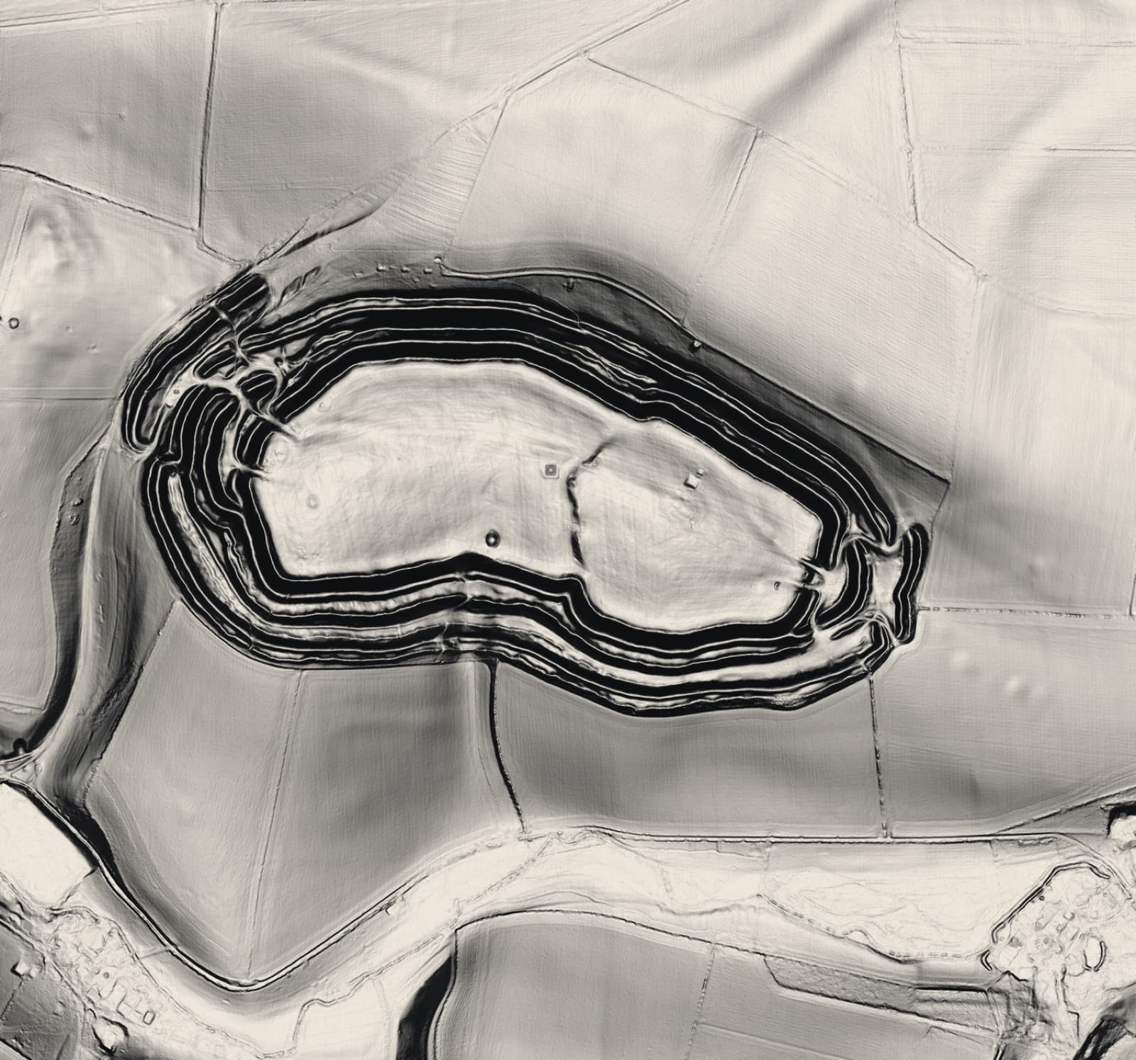
Above: Maiden Castle, Dorset. Environment Agency lidar, Open Government Licence, rendered by us at four sun angles. Real terrain, not illustration.
What we do
Lidar strips the forest off a landscape and shows what is underneath. Radar reaches under sand. Machine learning reads carbonised scrolls that would crumble if anyone opened them, and restores inscriptions that lost half their letters two thousand years ago.
None of that is speculative. All of it is running now, in published work, and it is steadily rewriting how many people we think lived in places we assumed were empty.
The problem is who tells you about it. One side publishes it in journals nobody outside the field reads. The other side wraps it in claims the evidence does not support and sells you a book. We are the third thing: the same discoveries, told properly, where every number traces to a named source and we say so plainly when it does not.

Everything we look for sits between layers like these. The record is physical before it is written.
Brand imagery · generated, not survey data · Before the Record 2026
The scoreboard
Six runs. Four over 6 square kilometres of Dorset, which produced 269 candidates and one confirmation. The two that matter came after. Run 005 covered 16 square kilometres of Salisbury Plain holding 121 scheduled monuments and recovered 40 of them, which is 33.1%. Run 006 repeated it on 16 square kilometres of Bodmin Moor holding 94 monuments, on ground the detector was never tuned against and chosen by a written rule before any elevation data was downloaded. It recovered 27, which is 28.7%. So the first figure was not a fluke, and nothing got better. Both runs report recall at a range of fixed distances as well, because the headline number moves from 9.6% to 46.8% depending only on how close a candidate has to sit before it counts as a find. Any survey result without a recall figure and the tolerance it was measured at is a statement about the settings rather than the landscape.
- Candidates surfaced
- 907
- Confirmed
- 1
- Refuted
- 21
- Under review
- 0
Updated 2026-08-06 · generated from pipeline/runs, not edited by hand · triage is our visual read of hillshade crops, not a ground check
Everything here carries its confidence
Every claim we publish is labelled with how far we can actually stand behind it. There are five labels and no others. A claim with no label does not ship.
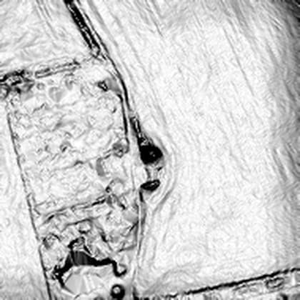
In a peer-reviewed paper or an official heritage record. Cited.
Round barrow NE of Hog Hill Barn, list entry 1003237
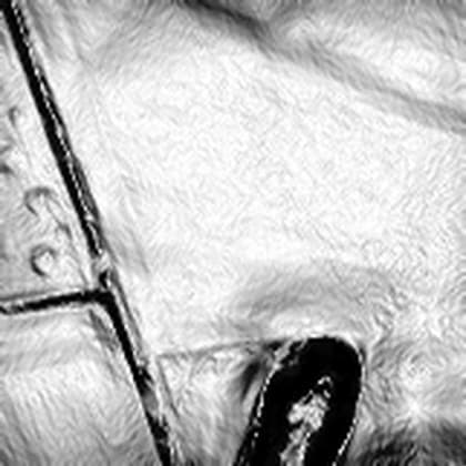
Our detection surfaced it. Not verified. An interesting shape, nothing more.
One of three Dorset depressions we cannot resolve
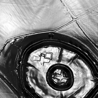
Reported to the heritage authority. Awaiting their response.
Old Sarum, formally on the record
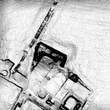
Checked and explained. Published anyway: negatives prove the method is honest.
The farmyard run 001 ranked second in 6 square kilometres
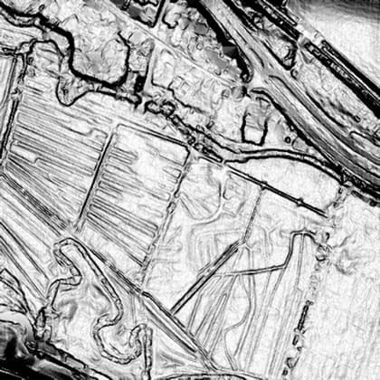
Someone else's claim, under examination. Reporting is not endorsing.
Open ground, nothing resolved
Start here
Sourced accounts of the places and periods that matter most, with both sides of every open question put at full strength.
What is coming
An atlas of what the machines have found, mapped and sourced. A verdict series that takes the famous claims about lost civilisations one at a time and says which parts hold up. A book series. And our own detection runs over open elevation data, starting in England, where the licence lets us publish everything we find and drive to it afterwards.
Read the standard we hold ourselves to. It is short, and it is the reason to trust anything else on this site.