Standard edition
AMAZON, WORLDWIDE
8.25 x 11 in, colour throughout, paperback
Printed on demand, so it never goes out of stock
GBP 24.99
The whole book. Every plate, every verdict, nothing held back.
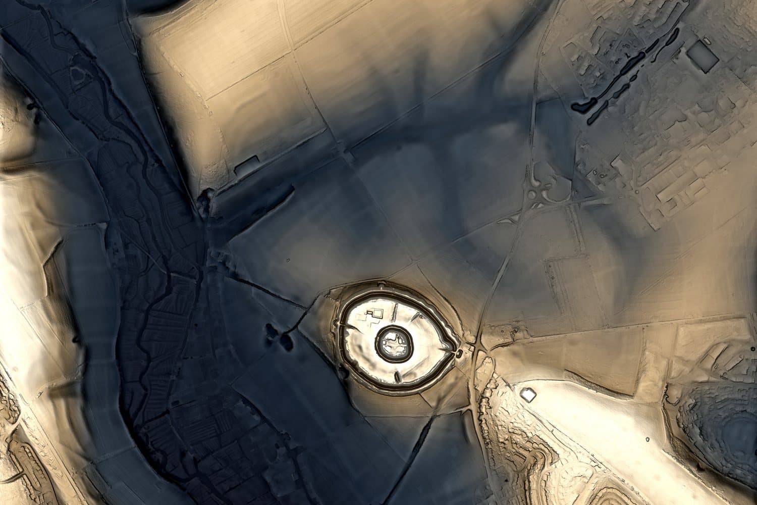
In production
Every spread is one claim about a place, made twice. Once by somebody who had never seen it from above, and once by a machine that cannot see anything else. Then a verdict, and a line saying what would change it.
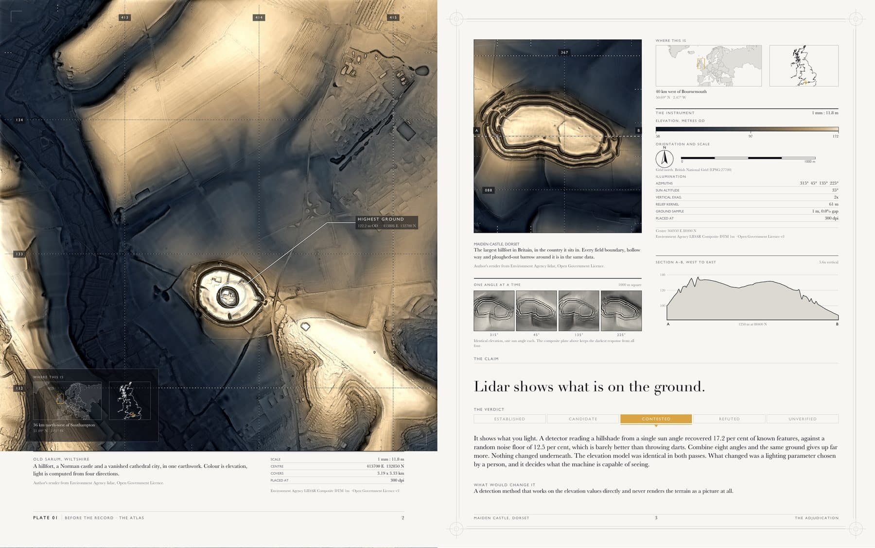
Most map books present. Some visualise. This one adjudicates, and it carries the same five confidence labels as the books, so a reader can see where we landed before reading the argument.
Established
The evidence supports it and the argument is closed.
Candidate
Plausible, incomplete, and worth the next season of work.
Contested
Specialists disagree, and both cases are printed at length.
Refuted
The claim as stated does not survive its own numbers.
Unverified
Nobody has checked, and we say so rather than guess.
The scale bar, the elevation legend, the grid reference, the vertical exaggeration on the profile: all of it is read back out of the same elevation raster the plate was rendered from, not typed in afterwards. The build refuses to print a plate below 300 dots per inch, refuses to print a claim about one place beside a picture of another, and marks itself a draft if any image on it is not cleared for a book we sell.
The elevation data is the Environment Agency lidar composite at one metre, published under the Open Government Licence. You can download the same tiles and check the plates yourself, which is the only reason to trust them.
AMAZON, WORLDWIDE
8.25 x 11 in, colour throughout, paperback
Printed on demand, so it never goes out of stock
GBP 24.99
The whole book. Every plate, every verdict, nothing held back.
THIS SITE ONLY
270 x 340 mm, section sewn, slipcased, numbered and signed
Offset, printed once against confirmed orders
To be set with the edition size
The same book on a larger sheet. Because the scale is fixed by the data, a bigger page does not print the same ground larger, it carries more ground at the same fidelity: 71 per cent more on the detail plates.
No publication date, because the work behind it is not done. The atlas is a few spreads into a book that needs dozens, and the reproduction rights for the historical maps are still being traced. When a date is real it will appear here, and not before.
The collector edition is printed once, against orders, and offered to the advance readers first. Join them and you will hear about it before anyone else.